GBIF Data
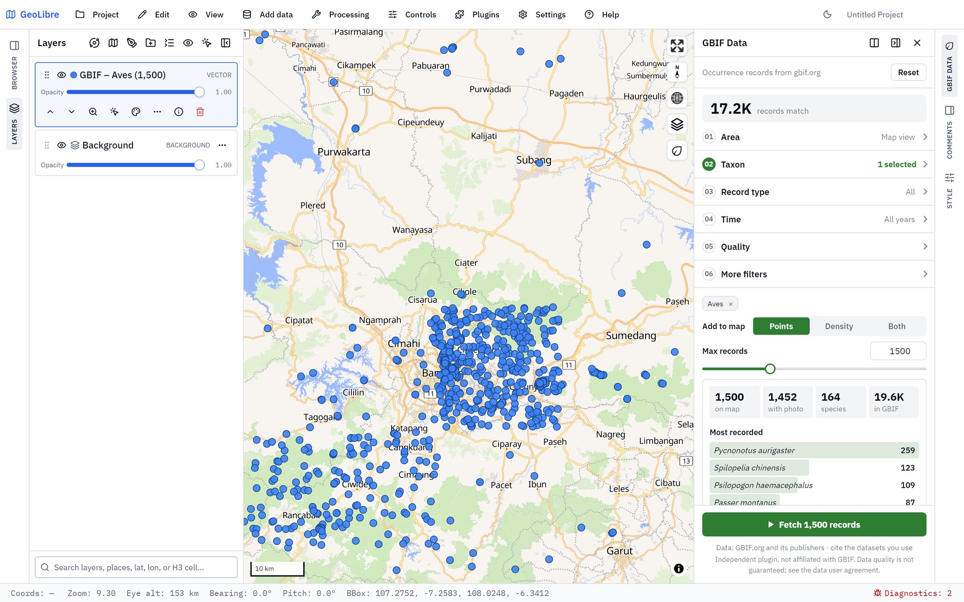
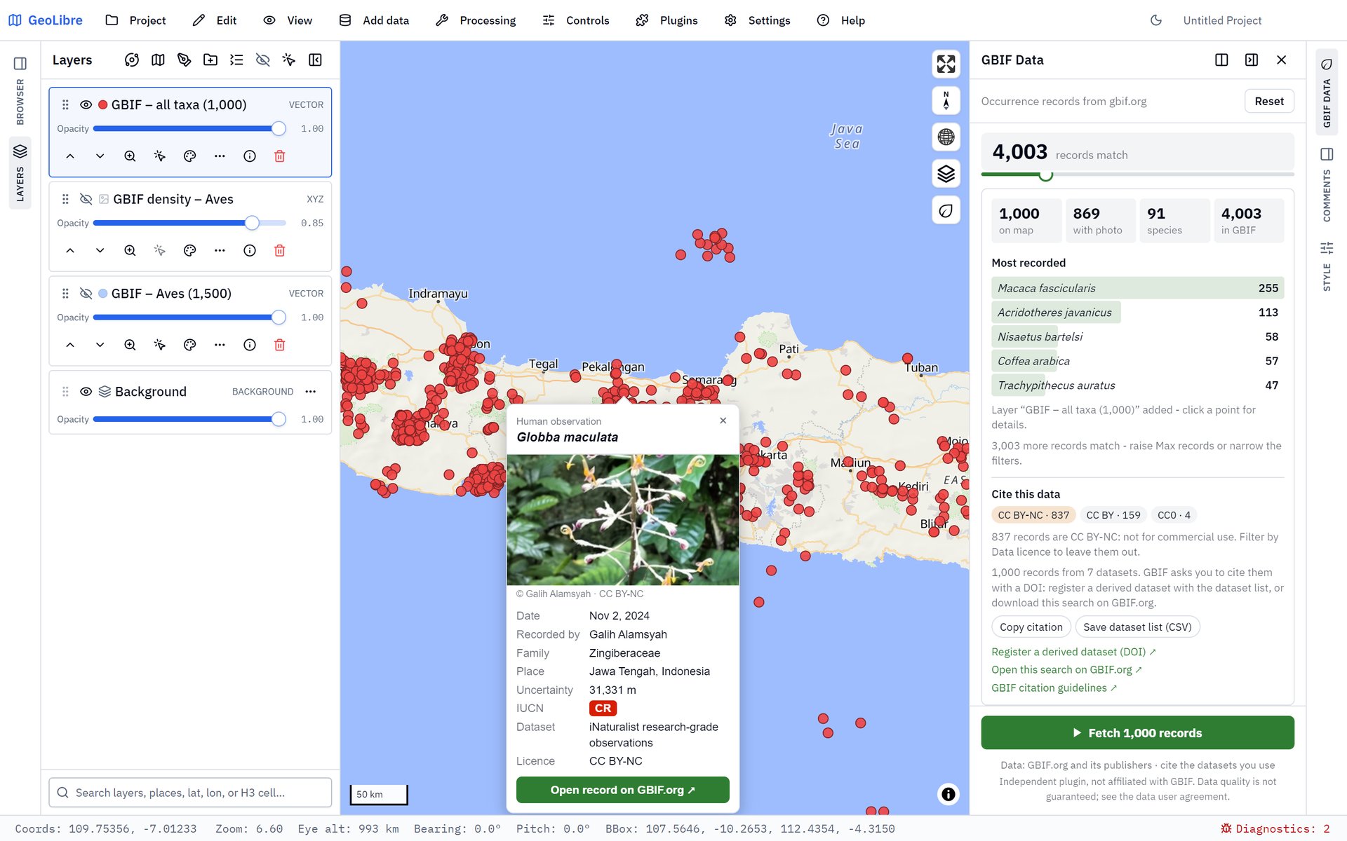
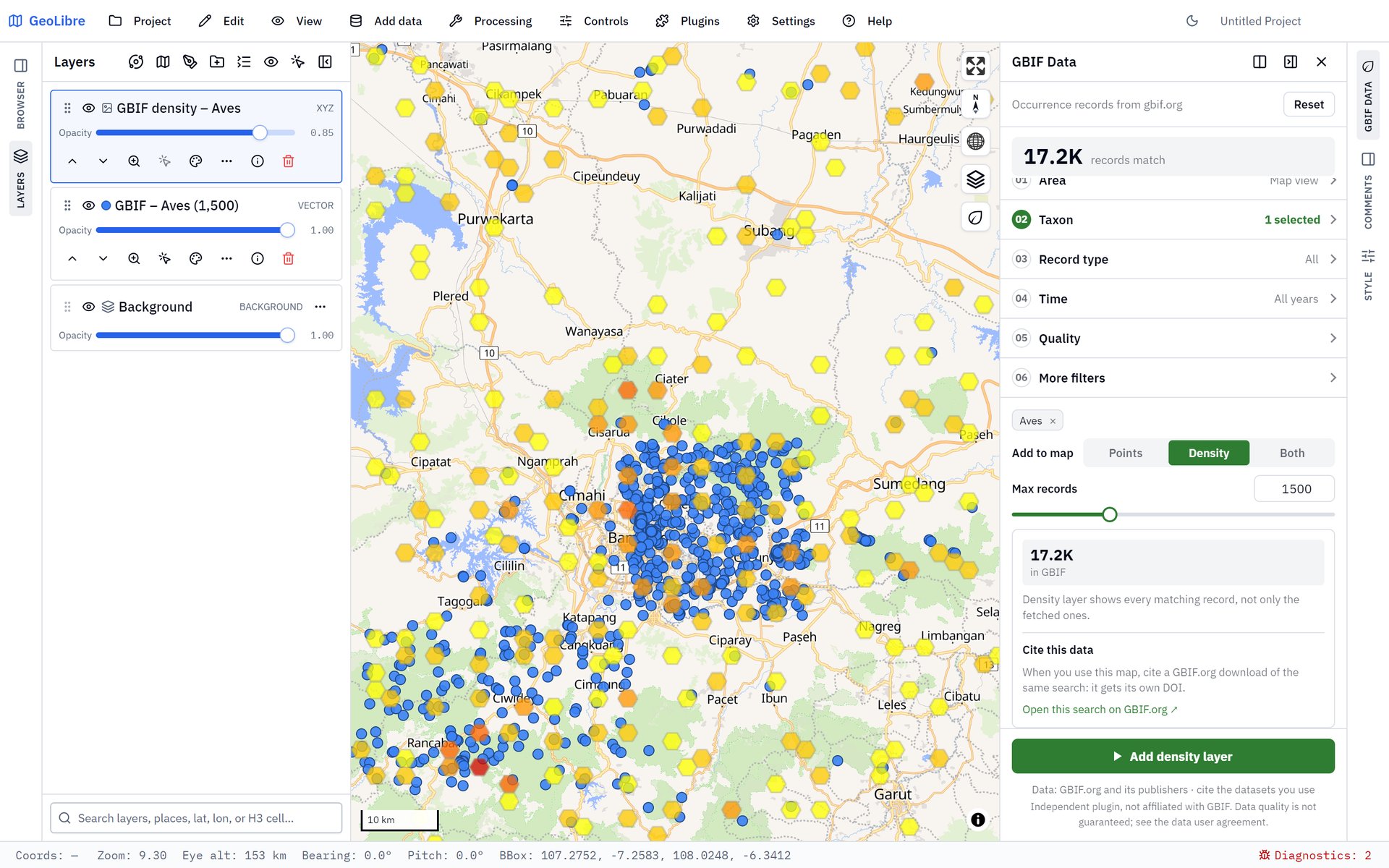
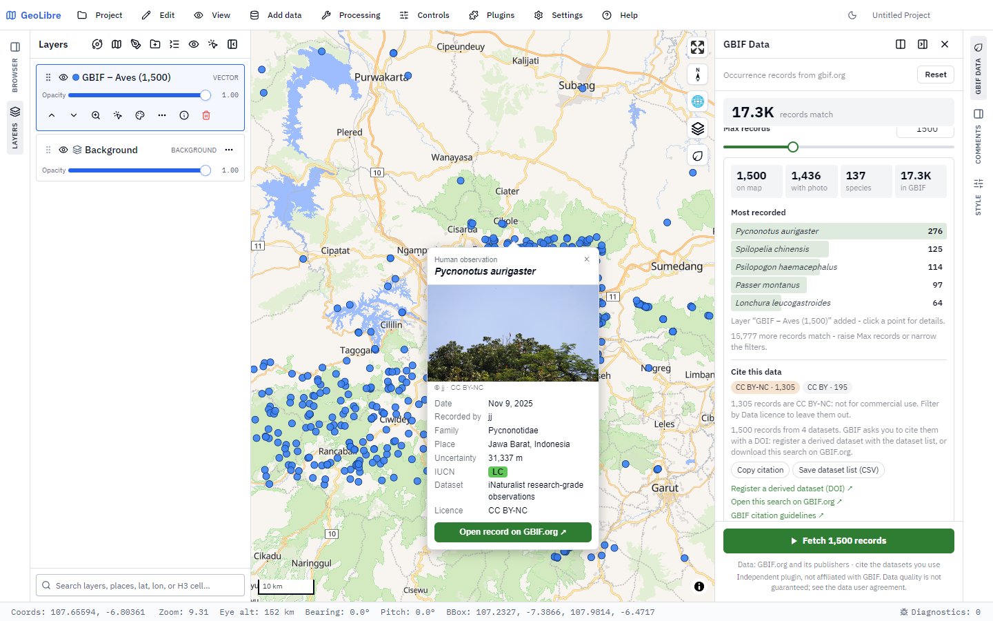
Fetch georeferenced GBIF occurrence records by map view, layer extent, country or worldwide, with taxon search, major groups, record type, year, photo, IUCN, uncertainty and licence filters, a live counter, density tiles, a record popup and citation tools for a derived-dataset DOI. Independent plugin, not affiliated with GBIF.
- Plugin id:
geolibre-gbif-data - Version: 1.1.1
- Author: Defani Arman Alfitriansyah
- License: MIT
- Requires: GeoLibre 3.0.0+
- Categories:
DataEcology - Source code: https://github.com/Defani/GBIF-Data
- Report an issue: https://github.com/Defani/GBIF-Data/issues
- Manifest: https://plugins.geolibre.app/plugins/geolibre-gbif-data/plugin.json
- Release zip: https://github.com/Defani/GBIF-Data/releases/download/v1.1.1/geolibre-gbif-data-1.1.1.zip
- Bundle SHA-256:
55031e560728d8b3a7cf949989b047f34a067e69b4ed09b18f2ec1eb7b1b8173
Screenshots
Install
- GeoLibre on the web: use Open in GeoLibre above. GeoLibre shows the plugin's details and asks you to confirm before installing it.
- Any GeoLibre, including the desktop app: open Settings → Manage Plugins, find GBIF Data and click Install.
GeoLibre releases after 3.2.0 check the downloaded code against the bundle SHA-256 above before running it.